
Hands-free on the river
Keep both hands on the oars.
Ask out loud for the next rapid, how far it is to camp, or the miles left to the take-out. ExpeditionSpot answers out loud from the river's guide, with no signal and nothing to tap.
- “next rapid”
- “next camp”
- “how far to the take-out”
- “river level”
Asking is in the ExpeditionSpot app for iPhone and Android, coming soon to the App Store and Google Play. Plan your trip on the web today.
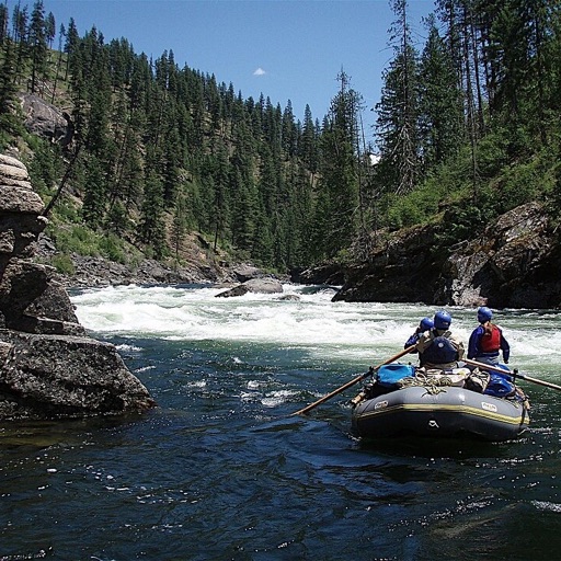
Selway · mile 28.1 · no signal
You say: “Next rapid”
You hear: Ladle Rapid, class IV, 0.2 miles ahead.
You say: “Next camp”
You hear: Upper Cedar Flats Camp, river right, 1.8 miles ahead.
You say: “How far to the take-out”
You hear: Race Creek Take-out, 19.6 miles.
Put-in
Plan it with the crew
Pick the river, invite everyone, and keep one plan you all share, so nobody shows up without the groover.
- Gear lists, with who is bringing what
- Meals and to-dos, day by day
- Who paid for what, so it squares up after
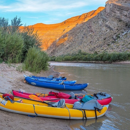
Mile 12
Know the rapids before you hear them
Read the river's guide, then see every rapid and camp on the map. Check agency notices, river flows and the weather at the put-in before you go.
On the water it is all one question away: ask, and keep rowing.
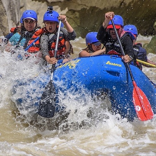
Camp
No signal, still the whole guide
Download the river before you leave. The map and the guide keep working in the deepest canyon.
Take photos as you go and they land on the map where you took them. When there is a bar of signal, the trip chat and calls reach the rest of the crew.
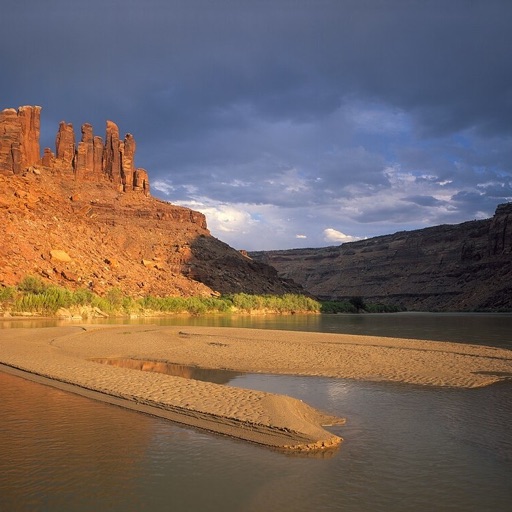
Take-out
The album, and the record
Everyone's photos come home in one album, each pinned to the bend where it happened. The record of the trip stays with the crew for the next time you plan one.
Choose your put-in
37 runs on 14 rivers: about 1,650 river miles, 824 rapids and 1,413 camps mapped. A few of them:
 Middle Fork Salmon RiverBoundary Creek to Cache Bar · Idaho97.9 mi · class II–IV
 Snake RiverHells Canyon Creek to Heller Bar · Idaho / Oregon / Washington78.2 mi · class II–IV
 Rogue RiverGalice to Foster Bar · Oregon41.9 mi · class II–V
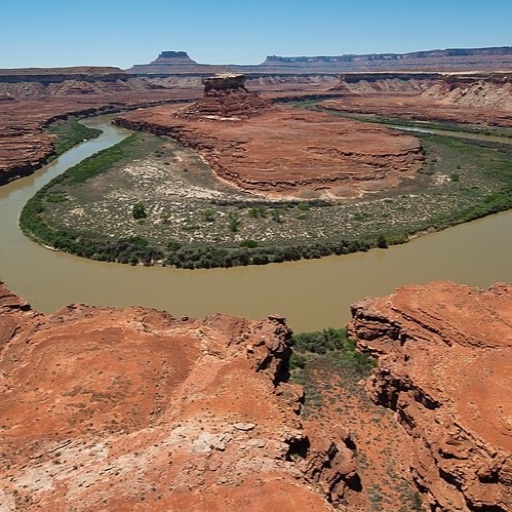
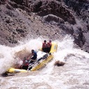 Colorado RiverCataract Canyon, Confluence to North Wash · Utah46.9 mi · class II–IV
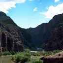 Green RiverGates of Lodore, Lodore to Split Mountain · Colorado / Utah43.3 mi · class III–IV
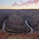 San Juan RiverMexican Hat to Clay Hills · Utah56.7 mi · class II–III
Your next put-in starts here.
Start a plan on the web today and bring the crew in. The phone apps are on their way.
Start planning- App Store Coming soon
- Google Play Coming soon